
40-Mile Run- New Course for 2026!
SATURDAY, AUGUST 22, 2026 • 5:00AM START AT Telluride Town Park
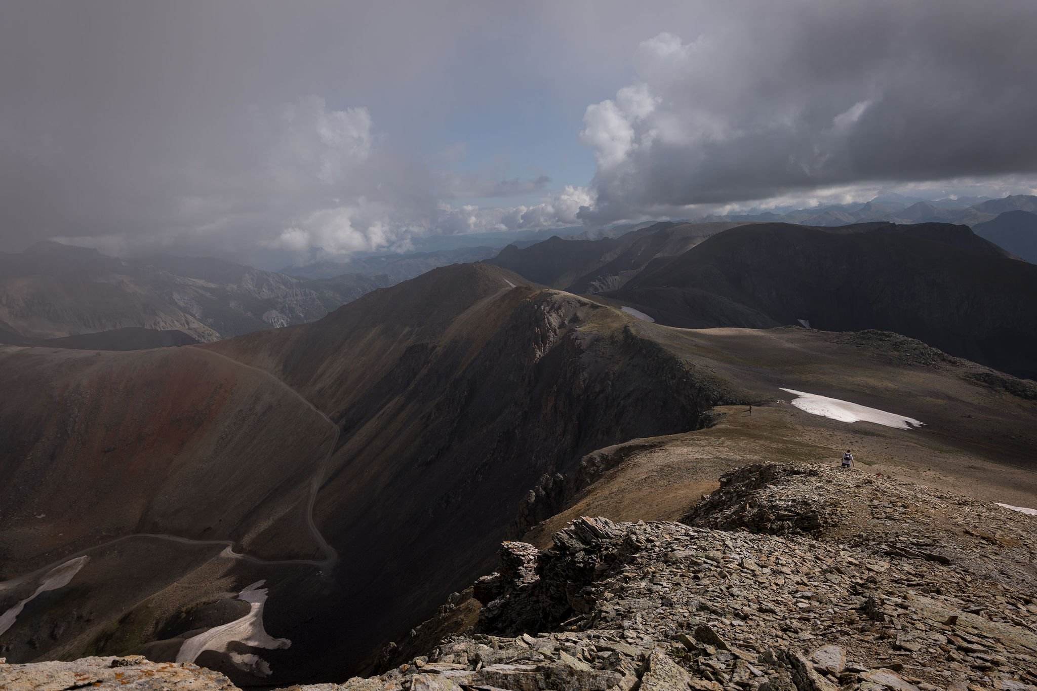
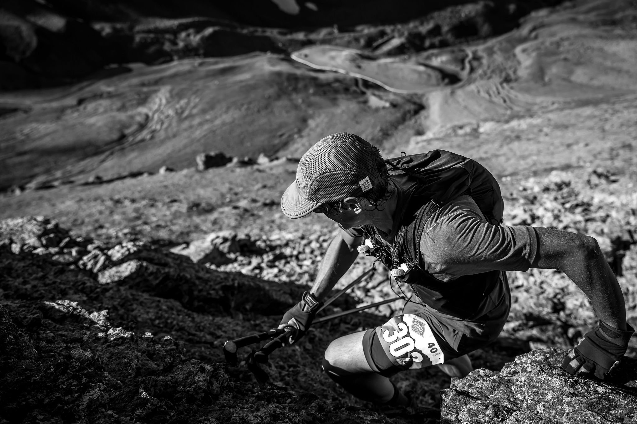
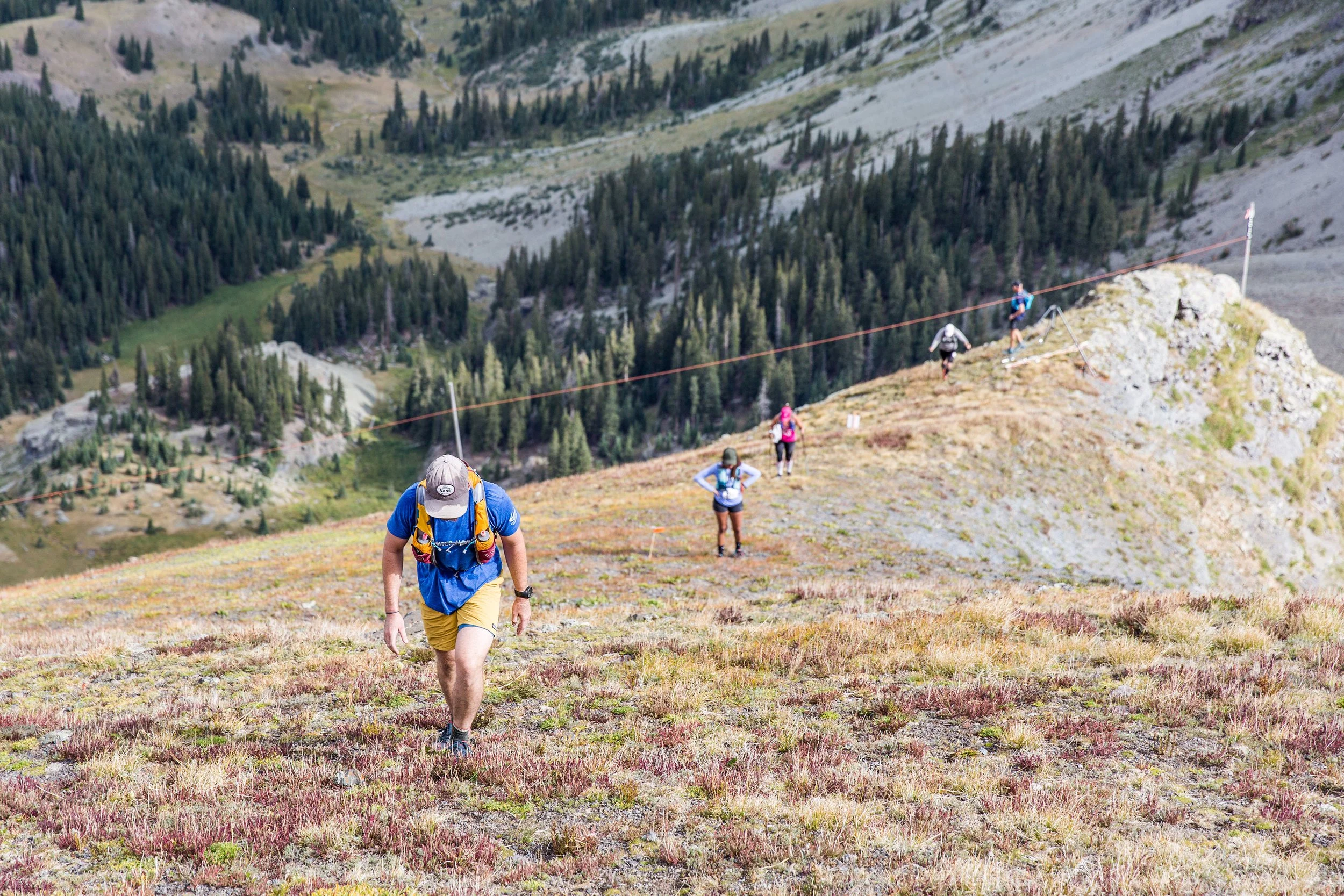
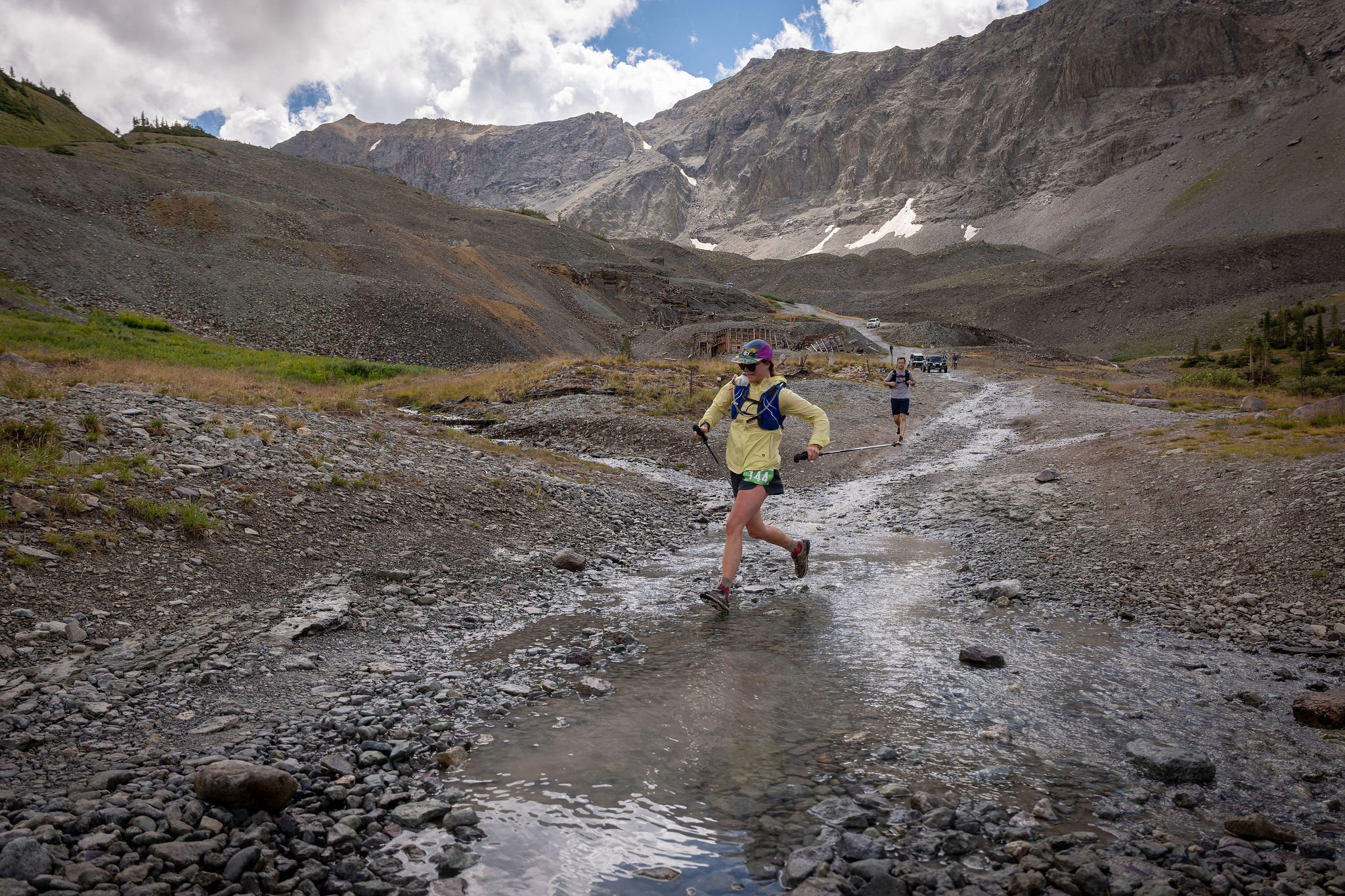
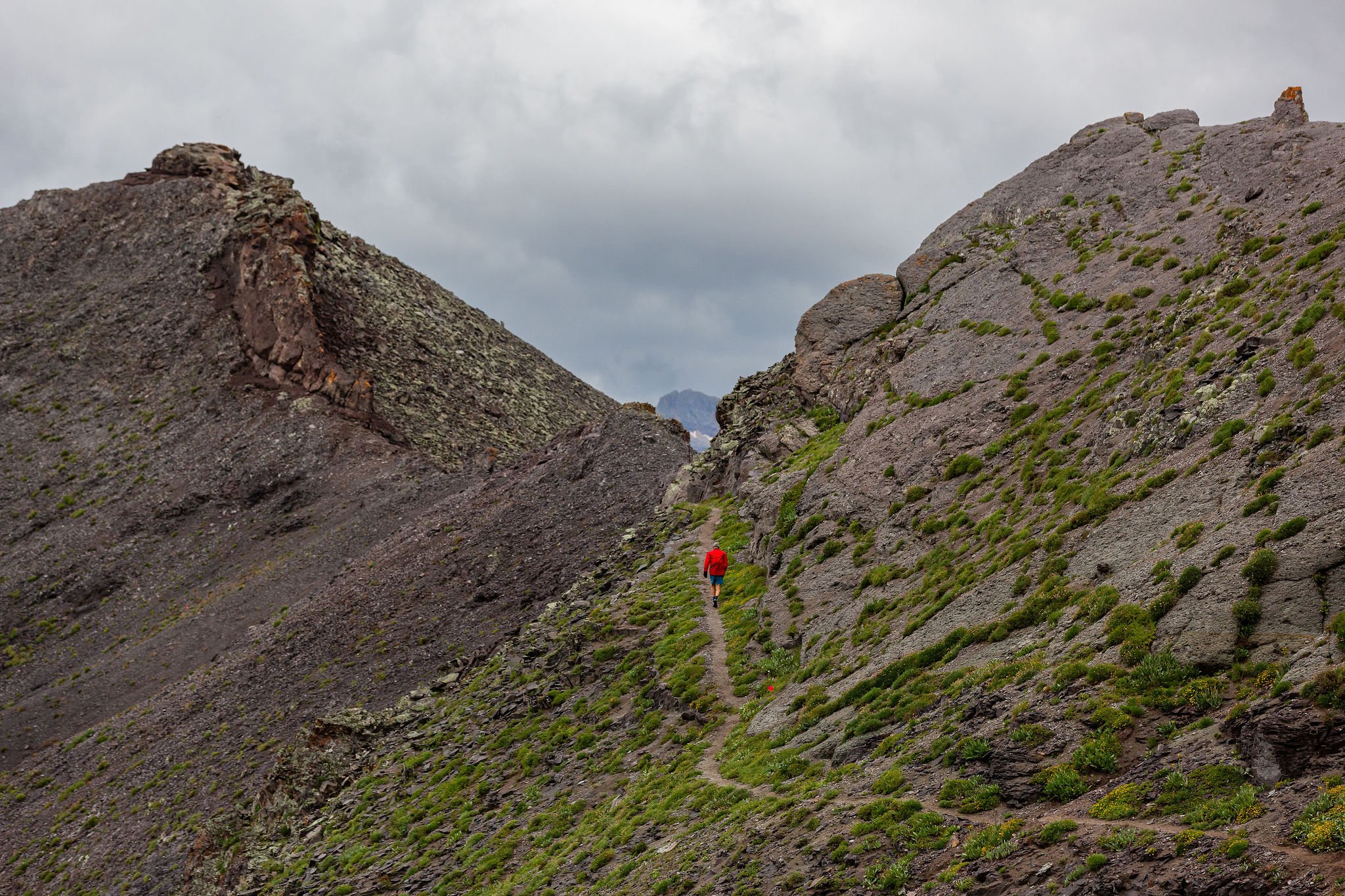
You should know... there are sections of this course that are technical, steep, and loose. THIS IS A TECHNICAL MOUNTAIN RACE, NOT A TRAIL RUN- participants will be running to altitudes above 13,000ft on exposed ridgelines and steep, rocky summits. The trails are extremely rocky and at times they can be hard to decipher. There are many sections of this course that will be exposed to falls, potential rockfall, and hazardous weather. There will be safety personnel along sections of the route monitoring these hazards but all participants should be responsible for their own safety. THIS IS NOT AN EVENT FOR BEGINNERS. EXPERIENCE IS REQUIRED.
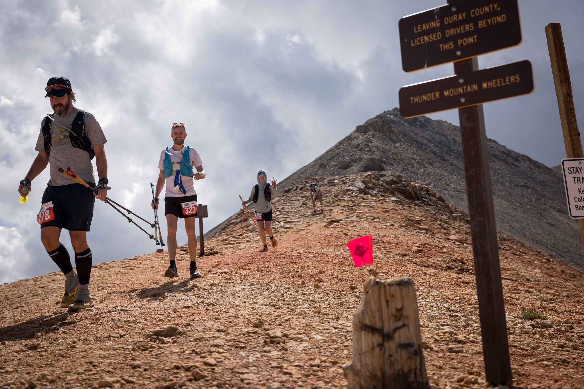
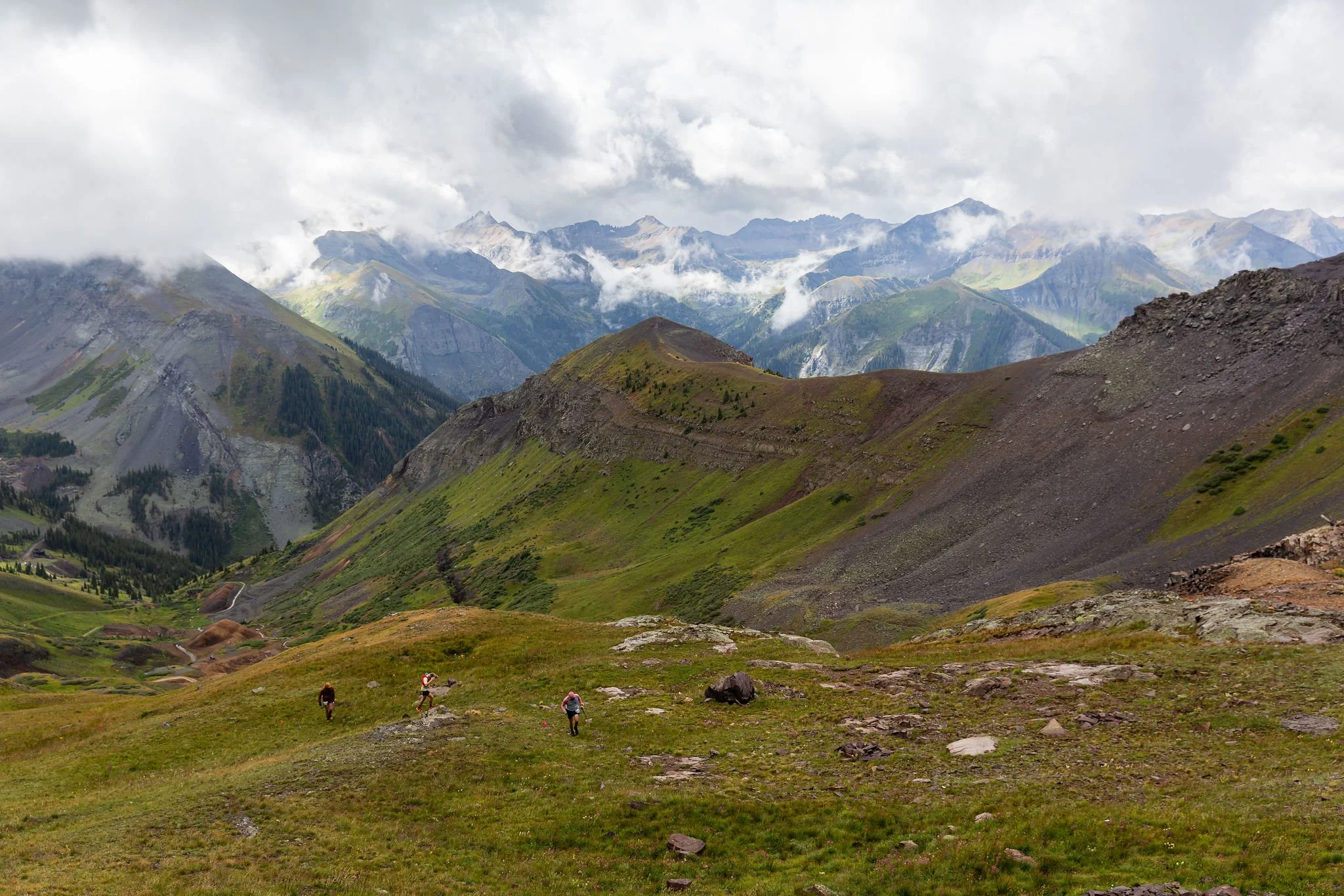
Incredibly similar to the original and infamous TMR route, this new course capitalizes on the picturesque trail systems and peak ascents surrounding the Telluride region while delivering 15,000 ft of ascent in just 40 miles. In the words of race founder, Dakota Jones- "The course is really hard!". We have retooled the course to add more time up high and include new peak ascents on the second half of the course. In short, we made it harder! You will go over 13,000 ft twice along with three additional climbs over 12,000 ft.
The course includes 1.5 miles of sharp, exposed ridgeline above 13,000 ft between Ajax Peak and Imogene Pass and includes the 13,500 ft summit of Telluride Peak along the way. We call this section the "Mile and a Half of Sky". Prepare for a difficult day in the mountains!
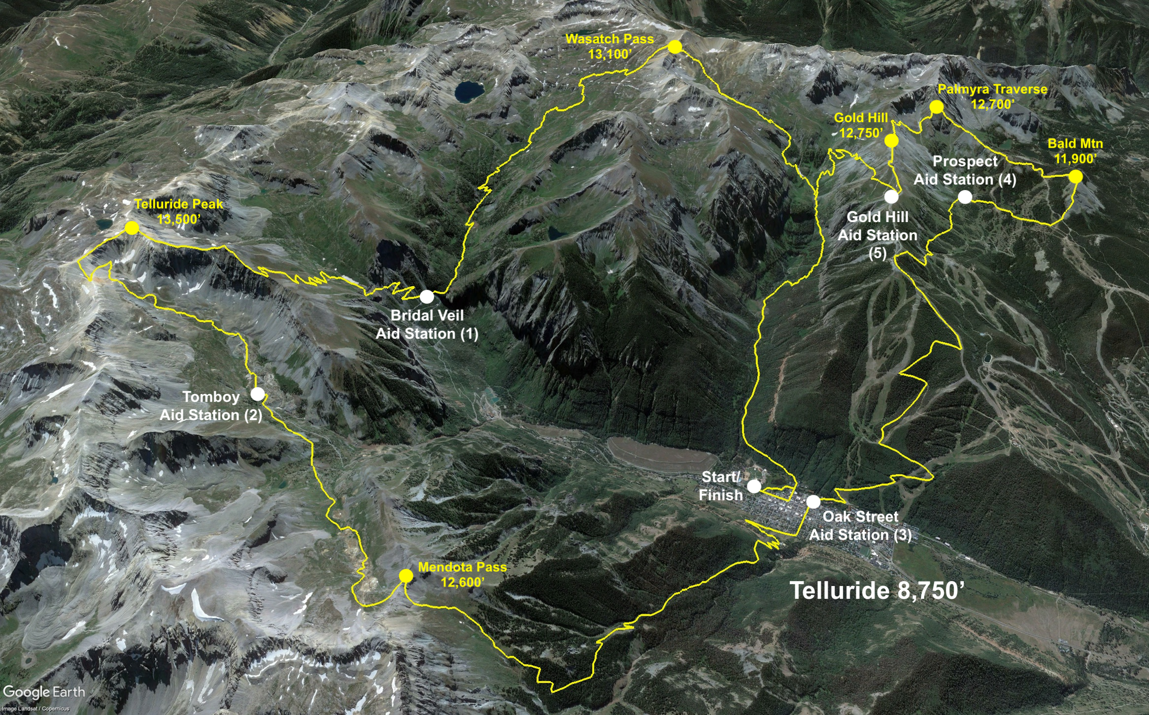

40-mile Route:
Distance: About 40 Miles (64K)
Start/Finish: Telluride Town Park
Elevation Gain: About 15,000 ft (4,570m)
Overall time limit: 17 hours
Number of Aid Stations: 5
*Distance, elevation gain, and GPX will be confirmed later this summer (2026).


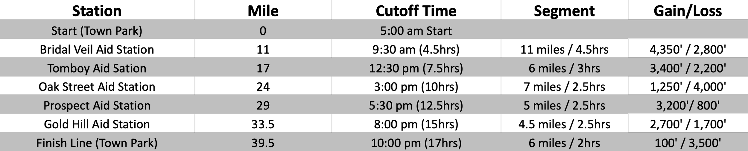
Aid Stations and Cut Off times:
TMR is a CUPLESS race. please bring your own reusable cup if you plan to drink at the aid stations and finish line.
There will be five fully stocked aid stations along the 40-mile course. All aid stations will be stocked with water, electrolyte drink, sweet and salty snacks, first aid, and super nice volunteers! Please note that these distances are approximate and might not perfectly match the elevation profile above. Cut-off times will be strictly enforced for the safety of the runners and support staff.
Drop Bags:
40-mile runners will be allowed to have two drop bags. Please mark all drop bags with your name and bib number and bring them to the starting line on Saturday morning. There will be a designated drop spot for each aid station.
Bridal Veil Aid Station (Mile 11)
Oak Street Aid Station (Mile 24)
CREWING:
Crewing is allowed at:
Bridal Veil Aid Station (Mile 11)- Hike required
Oak Street Aid Station (Mile 24)- Vehicle parking nearby
Recommended Gear:
Headlamp w/ extra batteries
Phone with downloaded GXP file of the course (on your watch is not sufficient)
Hydration system
Calories
Waterproof Jacket
Warm clothing (jacket, gloves, hat)
Sun block
Whistle
Course Markings:
The course will be well marked with flagging tape, ground flags, and directional signs at some intersections. The race organizers will do everything they can to have the course well marked for race participants the day of the event. Runners must follow trail markings and not cut switchbacks. Please be sure to understand the course! This is super important- Despite all our efforts to mark the course really well, some of our route marking have gone missing every year. We HIGHLY RECOMMEND all runners download the course GPX file and have it available on their phone during the run.